May 2023 Drive Notes
“Markleeville via Carson Pass”
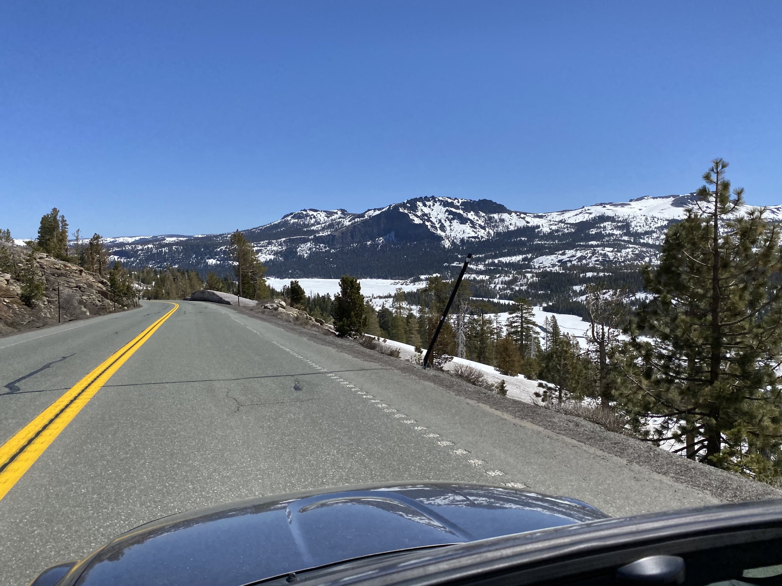
Overview: Jackson Gate - Volcano - Rams Horn Grade - Shake Ridge - Hwy 88 - Carson Pass - Markleeville - Hwy 88 - Jackson
Distance: 168 miles
Seat time: 3 hrs 35 min
Lunch stop: Cutthroat Brewing Company
Total time: approx 4 hrs 30 min (including lunch)
Min Elevation: 1,214 ft
Max elevation: 8,537 ft
Total Ascent: 13,556 ft
Total Descent: 13,550 ft
Weather: perfect (mid 70s)
Road surface condition: Mostly good, Shake Ridge Rd is a little rough after Rams Horn Grade. Hwy 88 is perfect. No unpaved sections.
Start location: Jackson Raley’s 781 South Highway 49 Jackson CA 95642
Finish location: Jackson CA
route notes
Printable route notes are not available on this free drive. (it’s a small group and we’ll stay together)
GPX Route Files
Download a GPX version of the route here
drive at your own pace
you can’t get lost
always know which way to go
The linked file above contains the full route including waypoints. We recommend using navigation & routing software on your phone to follow along as we drive. We use InRoute if you’re on a phone running iOS. We’re evaluating software for Android devices, stay tuned. Install and test it BEFORE you arrive at the event. Limited tech support will be available at the start.
Route Map
route profile
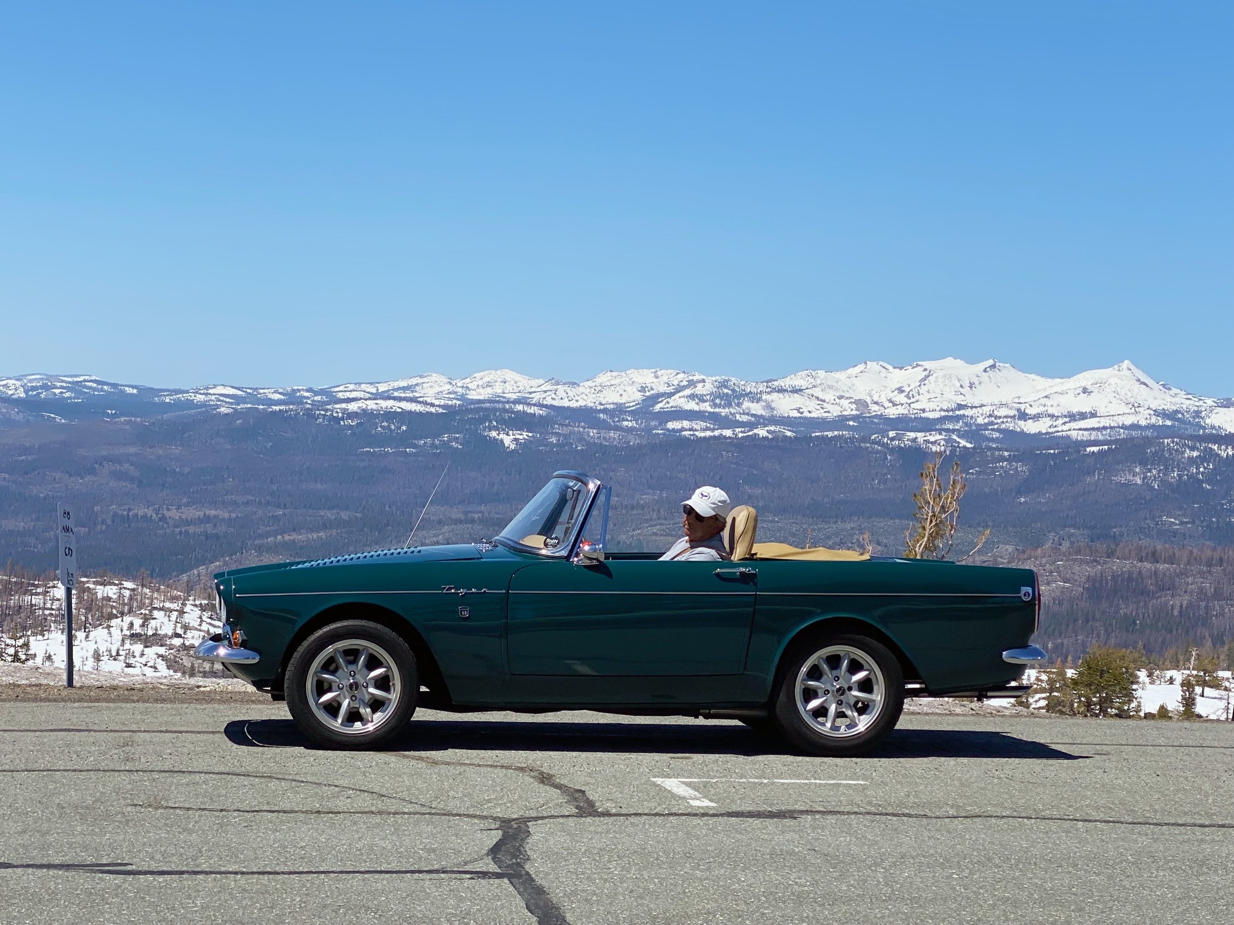
Photos