March 2023 Drive Notes
“Raging Rivers”
Overview: Sutter Creek, Amador City, El Dorado, Lotus, Kelsey, 193, Placerville, Camino, Pollock Pines, Somerset, Shenandoah Valley, finish in Jackson for Dandelion Days
Distance: 119 miles
Drive time: 3 hrs
Lunch stop: The Sportsman Hall Restaurant
Total time: approx 4 hrs (including lunch)
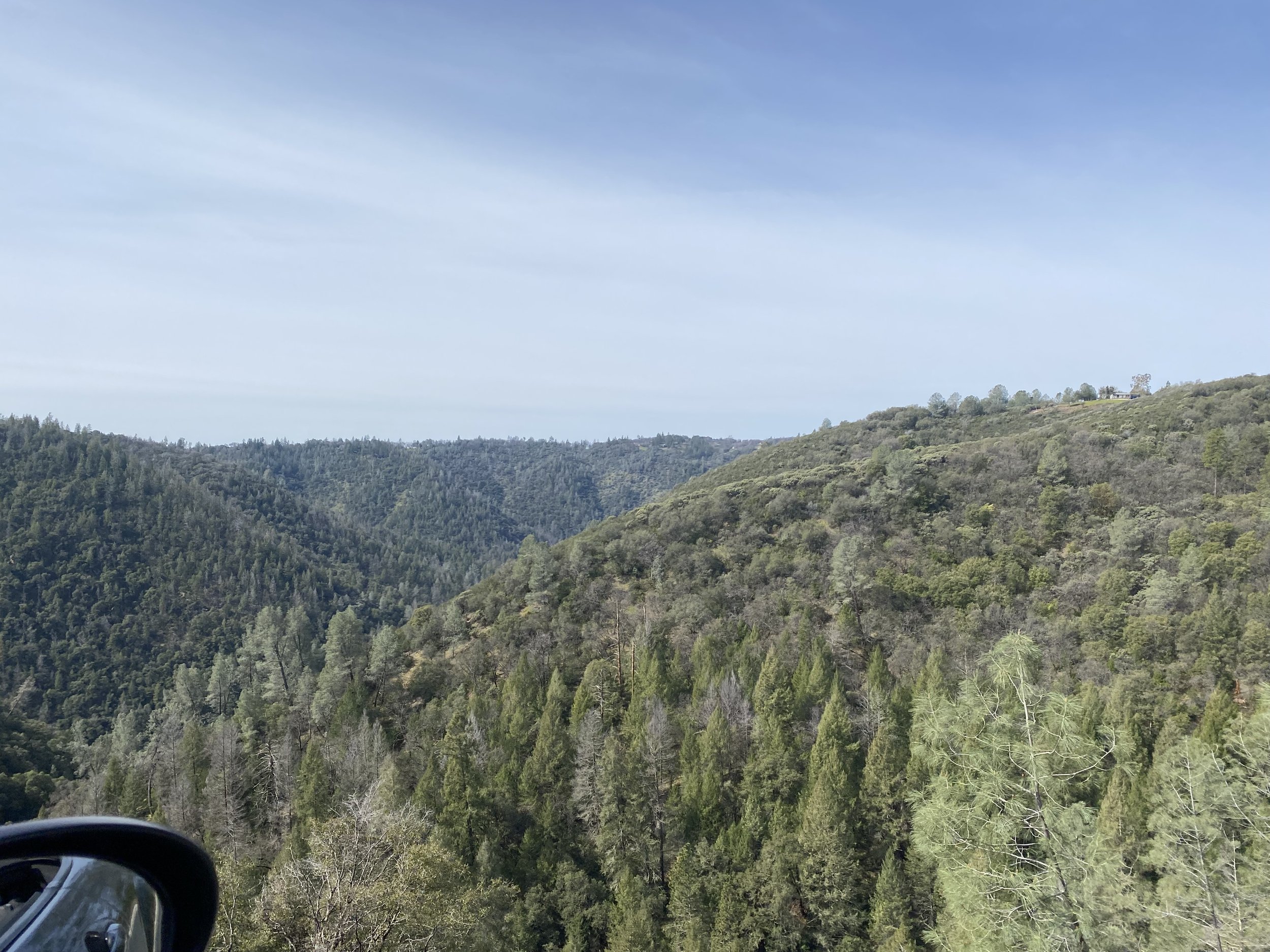
Max elevation: 4,250 ft
Weather: partly cloudy
Road surface condition: Mostly smooth, some roads affected by heavy rains. No unpaved sections.
Start location: Jackson Raley’s 781 South Highway 49 Jackson CA 95642
Finish location: Jackson CA (Dandelion Days festival will be going on)
route notes
Download a printable PDF of the route notes with turn by turn instructions here. (fixed as of Thu @ 10:56 PM - now has both pages)
GPX Route Files
Download a GPX version of the route here
drive at your own pace
you can’t get lost
The linked file above contains the full route including waypoints. We recommend using navigation & routing software on your phone to follow along as we drive. We use InRoute if you’re on a phone running iOS. We’re evaluating software for Android devices, stay tuned. Install and test it BEFORE you arrive at the event. Limited tech support will be available at the start.